ATL10·v007·dataset
How high sea ice floats above the water, from NASA's ICESat-2 laser satellite (v7)
ATLAS/ICESat-2 L3A Sea Ice Freeboard V007
cryosphere NASA NSIDC_CPRD Level 3 active HDF5
In plain English
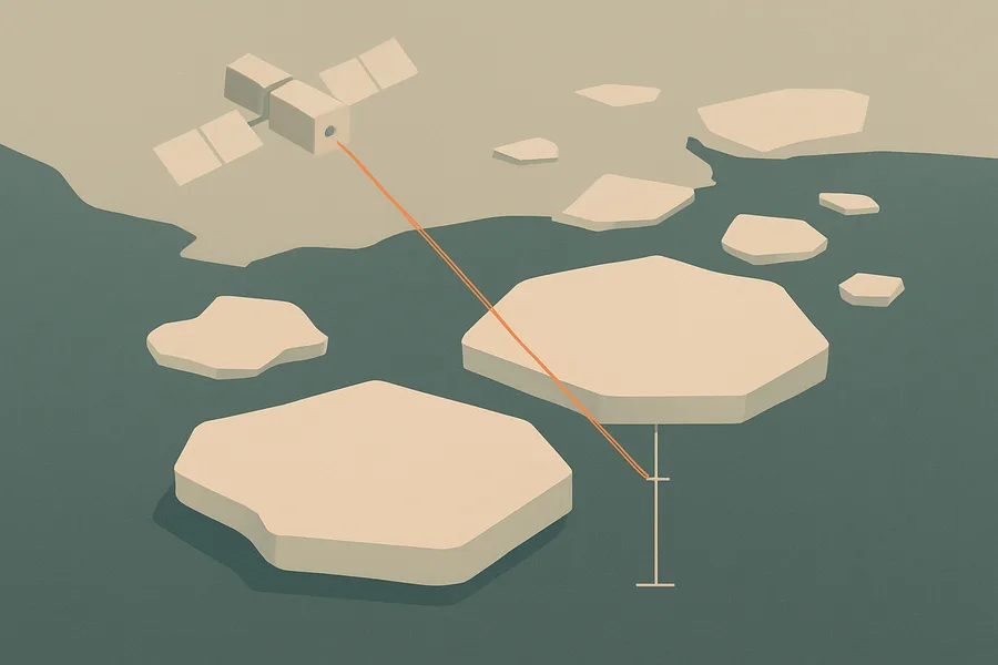
What it measures. Sea ice freeboard, meaning how high the ice sticks up above the surrounding water, measured along the satellite's track in 10-kilometer segments.
How it's made. Calculated from the ATLAS laser altimeter aboard the ICESat-2 satellite, which times laser pulses to measure surface heights precisely.
How & where you'd use it. Used to study sea ice and estimate its thickness, an important indicator of polar conditions and climate change.
What's measured
CRYOSPHERE › SEA ICE › FREEBOARD
Coverage & cadence
- Time span2018-10-14 → ongoing
- Measured byICESat-2 (ATLAS)
- Processing levelLevel 3
- Spatial extent-180, -88, 180, 88
- FormatsHDF5
- StatusACTIVE
What you can do with it
- Measure sea ice, snow cover and glaciers
- Watch ice-sheet elevation change
- Track freeze/thaw and permafrost
Official description
ATL10 contains along-track sea ice freeboard calculated for 10 km swath segments. The data were acquired by the Advanced Topographic Laser Altimeter System (ATLAS) instrument on board the ICESat-2 observatory.
Get the data
import earthaccess
earthaccess.login(strategy="netrc")          # free Earthdata Login

results = earthaccess.search_data(
    short_name="ATL10",
    version="007",
    bounding_box=(-122.5, 37.2, -121.8, 37.9),  # your area (W,S,E,N)
    temporal=("2024-01-01", "2024-12-31"),       # your dates
)
files = earthaccess.open(results)   # stream straight from NSIDC_CPRD
Browsing CMR needs no login. Downloading or streaming bytes needs a free Earthdata Login + the earthaccess package. Official links
- Search and order NASA Earth Science data using spatial and temporal filters. Reformatting, reprojecting, and subsetting options are available for some data sets. GET DATA
- Search data by spatial and/or temporal ranges or file name. Choose from various download options, including a Python script. GET DATA
- Quickly download a few files using a web browser, or access data through a command-line utility such as WGET. GET DATA
- Discover, access, and visualize data from NASA's ICESat and ICESat-2 missions. GET DATA
- A Python library to search and access NASA Earth science data with just a few lines of code GET DATA
- Find more data access options and help resources. VIEW RELATED INFORMATION
- ATLAS/ICESat-2 L3A Sea Ice Freeboard, Version 7 User Guide VIEW RELATED INFORMATION
- ATL07/ATL10 Known Issues (V7) VIEW RELATED INFORMATION