How much rain and snow fell, top to bottom, from the radar on the GPM satellite (5 km detail)
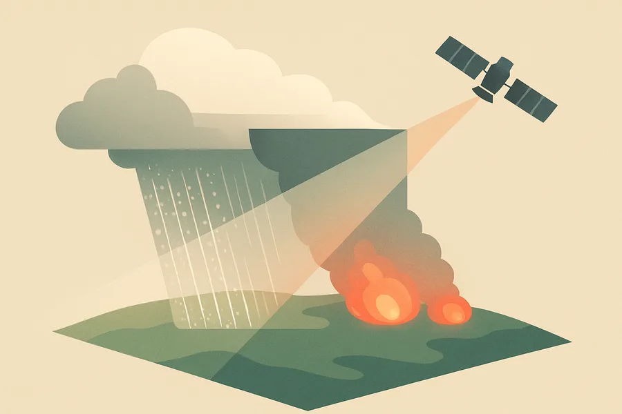
What it measures. Detailed vertical profiles of how much rain and snow is falling, measured by radar slicing through storms from above.
How it's made. Collected by the dual-frequency precipitation radar on the core GPM satellite, which uses Ku-band over a wide strip and Ka-band over a narrower strip, at about 5 km resolution.
How & where you'd use it. Gives scientists a 3D view of precipitation inside storms, valuable for understanding rainfall, improving weather and climate models, and studying extreme events.
What's measured
Coverage & cadence
- Time span2014-03-08 → ongoing
- Measured byGPM (DPR)
- Processing levelLevel 2
- Spatial extent-180, -70, 180, 70
- StatusACTIVE
What you can do with it
- Map air pollutants — NO₂, aerosols, ozone
- Track greenhouse gases and Earth's energy budget
- Feed weather and air-quality analysis
Official description
Version 08 is the current version of the data set. Older versions will no longer be available and have been superseded by Version 08. . 2ADPR provides single- and dual-frequency-derived precipitation estimates from the Ku and Ka radars of the Dual-Frequency Precipitation Radar (DPR) on the core GPM spacecraft. The output consists of three main classes of precipitation products: those derived from the Ku-band frequency over a wide swath (245 km), those derived from the Ka-band frequency over a narrow swath (125 km), and those derived from the dual-frequency data over the narrow swath. The Ka-band results are further divided into the standard and high-sensitivity estimates. In the standard sensitivity mode, the fields of view within the inner swath are matched to those of the Ku-band. Data from these matched-beam Ku- and Ka-band fields of view are used to derive the dual-frequency precipitation products. The retrievals are performed at each radar range bin along the slant path of the radar instrument field of view (IFOV).
Get the data
import earthaccess
earthaccess.login(strategy="netrc")          # free Earthdata Login

results = earthaccess.search_data(
    short_name="GPM_2ADPR",
    version="08",
    bounding_box=(-122.5, 37.2, -121.8, 37.9),  # your area (W,S,E,N)
    temporal=("2024-01-01", "2024-12-31"),       # your dates
)
files = earthaccess.open(results)   # stream straight from GES_DISC
Browsing CMR needs no login. Downloading or streaming bytes needs a free Earthdata Login + the earthaccess package. Official links
- Access the data via HTTPS GET DATA
- Use the Earthdata Search to find and retrieve data sets across multiple data centers. GET DATA
- README Document VIEW RELATED INFORMATION
- Algorithm Theoretical Basis Document VIEW RELATED INFORMATION
- FILE SPECIFICATION DOCUMENT VIEW RELATED INFORMATION
- Release Notes VIEW RELATED INFORMATION
- Data variables VIEW RELATED INFORMATION
- Instrument Description VIEW RELATED INFORMATION