Where there is snow on the ground each day, from NASA's MODIS sensor on Terra (500 m detail)
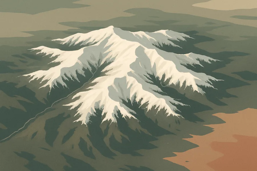
What it measures. Where snow covers the ground each day worldwide, plus how reflective that snow is (albedo), mapped at 500-meter detail.
How it's made. Derived from the MODIS instrument on NASA's Terra satellite, combining each day's swath observations into a daily global snow map projected onto a fine grid.
How & where you'd use it. Used for tracking seasonal snowpack, forecasting spring meltwater and runoff, water-supply planning, and studying climate change in snowy regions.
What's measured
Coverage & cadence
- Time span2000-02-24 → ongoing
- Measured byTerra (MODIS)
- Processing levelLevel 3
- Spatial extent-180, -90, 180, 90
- FormatsHDF-EOS2
- StatusACTIVE
What you can do with it
- Measure sea ice, snow cover and glaciers
- Watch ice-sheet elevation change
- Track freeze/thaw and permafrost
Official description
This global Level-3 (L3) data set provides a daily composite of snow cover and albedo derived from the 'MODIS/Terra Snow Cover 5-Min L2 Swath 500m' data set (DOI:10.5067/MODIS/MOD10_L2.061). Each data granule is a 10°x10° tile projected to a 500 m sinusoidal grid. The terms "Version 61" and "Collection 6.1" are used interchangeably in reference to this release of MODIS data.
Get the data
import earthaccess
earthaccess.login(strategy="netrc")          # free Earthdata Login

results = earthaccess.search_data(
    short_name="MOD10A1",
    version="61",
    bounding_box=(-122.5, 37.2, -121.8, 37.9),  # your area (W,S,E,N)
    temporal=("2024-01-01", "2024-12-31"),       # your dates
)
files = earthaccess.open(results)   # stream straight from NSIDC_CPRD
Browsing CMR needs no login. Downloading or streaming bytes needs a free Earthdata Login + the earthaccess package. Official links
- Search and order NASA Earth Science data using spatial and temporal filters. Reformatting, reprojecting, and subsetting options are available for some data sets. GET DATA
- Quickly download a few files using a web browser, or access data through a command-line utility such as WGET. GET DATA
- Search data by spatial and/or temporal ranges or file name. Choose from various download options, including a Python script. GET DATA
- Extract point and area time series from geospatial data via spatial, temporal, and/or parameter subsetting. GET DATA
- A Python library to search and access NASA Earth science data with just a few lines of code GET DATA
- Find more data access options and help resources. VIEW RELATED INFORMATION
- MODIS/Terra Snow Cover Daily L3 Global 500m SIN Grid, Version 61 User Guide VIEW RELATED INFORMATION
- MODIS Grids and Tile Locators VIEW RELATED INFORMATION