Whether the ground is frozen or thawed each day, from NASA's SMAP satellite (9 km detail)
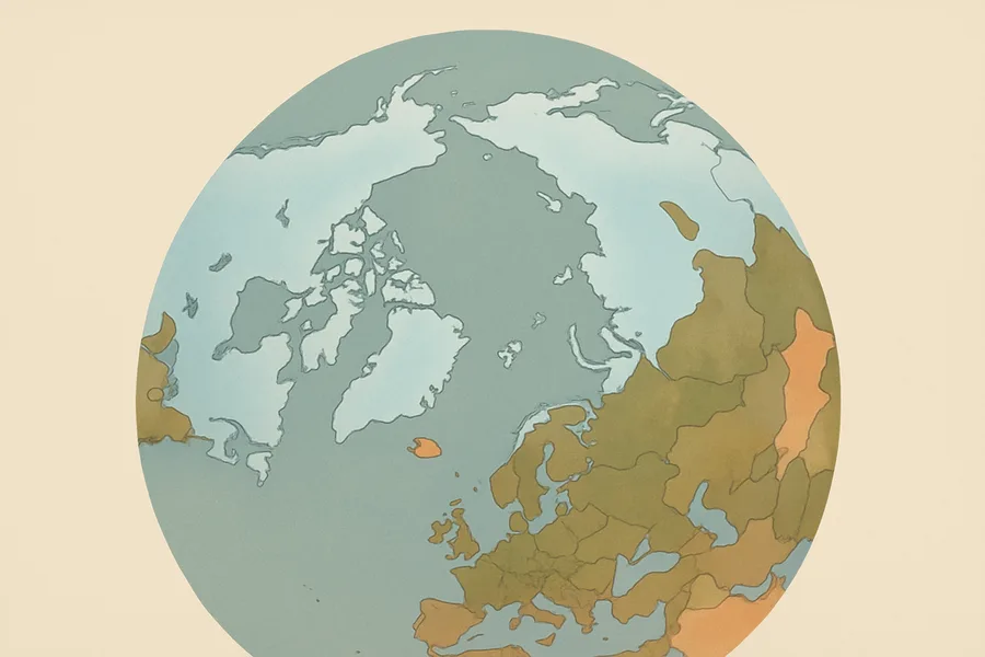
What it measures. Whether the land is frozen or thawed each day, for the globe and the Northern Hemisphere, on a 9 km grid.
How it's made. Derived from how surfaces appear to the SMAP satellite's microwave radiometer, using a technique that squeezes maximum detail out of the measurements and posts them to an equal-area grid.
How & where you'd use it. Useful for tracking the freeze and thaw cycle that affects growing seasons, carbon release, and water availability across cold regions.
What's measured
Coverage & cadence
- Time span2015-03-31 → ongoing
- Measured bySMAP (SMAP L-BAND RADIOMETER)
- Processing levelLevel 3
- Spatial extent-180, -85.044, 180, 85.044
- FormatsHDF5
- StatusACTIVE
What you can do with it
- Measure sea ice, snow cover and glaciers
- Watch ice-sheet elevation change
- Track freeze/thaw and permafrost
Official description
This enhanced Level-3 (L3) product provides a daily composite of global and Northern Hemisphere landscape freeze/thaw conditions retrieved by the Soil Moisture Active Passive (SMAP) radiometer from 6:00 a.m. descending and 6:00 p.m. ascending half-orbit passes. This product is derived from SMAP enhanced Level-1C brightness temperatures (SPL1CTB_E). Backus-Gilbert optimal interpolation techniques are used to extract maximum information from SMAP antenna temperatures and convert them to brightness temperatures. The data are then posted to two 9 km Earth-fixed, Equal-Area Scalable Earth Grids, Version 2.0 (EASE-Grid 2.0): a global cylindrical and a Northern Hemisphere azimuthal.
Get the data
import earthaccess
earthaccess.login(strategy="netrc")          # free Earthdata Login

results = earthaccess.search_data(
    short_name="SPL3FTP_E",
    version="004",
    bounding_box=(-122.5, 37.2, -121.8, 37.9),  # your area (W,S,E,N)
    temporal=("2024-01-01", "2024-12-31"),       # your dates
)
files = earthaccess.open(results)   # stream straight from NSIDC_CPRD
Browsing CMR needs no login. Downloading or streaming bytes needs a free Earthdata Login + the earthaccess package. Official links
- Search and order NASA Earth Science data using spatial and temporal filters. Reformatting, reprojecting, and subsetting options are available for some data sets. GET DATA
- Quickly download a few files using a web browser, or access data through a command-line utility such as WGET. GET DATA
- Search data by spatial and/or temporal ranges or file name. Choose from various download options, including a Python script. GET DATA
- A Python library to search and access NASA Earth science data with just a few lines of code GET DATA
- Find more data access options and help resources. VIEW RELATED INFORMATION
- SMAP Enhanced L3 Radiometer Global and Northern Hemisphere Daily 9 km EASE-Grid Freeze/Thaw State, Version 4 User Guide VIEW RELATED INFORMATION
- SPL3FTP/_E Assessment Report Version 3 [2020] VIEW RELATED INFORMATION
- SPL3FTP_E Product Specification Document [2018] VIEW RELATED INFORMATION