Nitrogen dioxide pollution in the air overhead, hourly over North America, from NASA's TEMPO
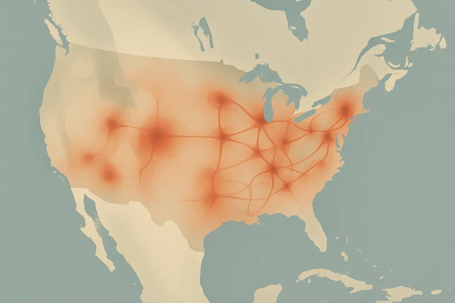
What it measures. How much nitrogen dioxide pollution sits in the air over North America, given separately for the lower atmosphere and the high-altitude layer, with each pixel covering roughly 10 square kilometers. Provided hourly during daylight.
How it's made. Comes from the TEMPO instrument watching North America from a fixed vantage in high orbit, using spectral fitting to detect the gas; this is a provisional per-granule product.
How & where you'd use it. Used to track traffic and industrial air pollution as it changes through the day, supporting air-quality monitoring and public-health research.
What's measured
Coverage & cadence
- Time span2023-08-02 → ongoing
- Measured byIS-40e (TEMPO)
- Processing levelLevel 2
- FormatsnetCDF-4
- StatusACTIVE
What you can do with it
- Map air pollutants — NO₂, aerosols, ozone
- Track greenhouse gases and Earth's energy budget
- Feed weather and air-quality analysis
Official description
Nitrogen dioxide Level 2 (PROVISIONAL) files provide trace gas information at TEMPO’s native spatial resolution, ~10 km^2 at the center of the Field of Regard (FOR), for individual granules. Each granule covers the entire North-South TEMPO FOR but only a portion of the East-West FOR. The files are provided in netCDF4 format, and contain information on tropospheric and stratospheric nitrogen dioxide vertical columns, ancillary data used in airmass factor and stratospheric/tropospheric separation calculations, and retrieval quality flags. The retrieval uses a three-step approach: (1) spectral fitting of slant columns, (2) air mass factor calculation and derivation of vertical columns, and (3) stratospheric/tropospheric separation. These data reached provisional validation on December 9, 2024.
Get the data
import earthaccess
earthaccess.login(strategy="netrc")          # free Earthdata Login

results = earthaccess.search_data(
    short_name="TEMPO_NO2_L2",
    version="V04",
    bounding_box=(-122.5, 37.2, -121.8, 37.9),  # your area (W,S,E,N)
    temporal=("2024-01-01", "2024-12-31"),       # your dates
)
files = earthaccess.open(results)   # stream straight from LARC_CLOUD
Browsing CMR needs no login. Downloading or streaming bytes needs a free Earthdata Login + the earthaccess package. Official links
- How to cite ASDC data VIEW RELATED INFORMATION
- Earthdata Search for TEMPO_NO2_L2_V04 (NASA Application to search, discover, visualize, refine, and access NASA Earth Observation data) GET DATA
- Tropospheric Emissions: Monitoring Pollution (TEMPO) Project Trace Gas and Cloud Level 2 and 3 Data Products: User Guide, 10.5067/doc/tempo/L2andL3UserGuide/V2.1 VIEW RELATED INFORMATION