HMA_DEM8m_MOS·v1·dataset
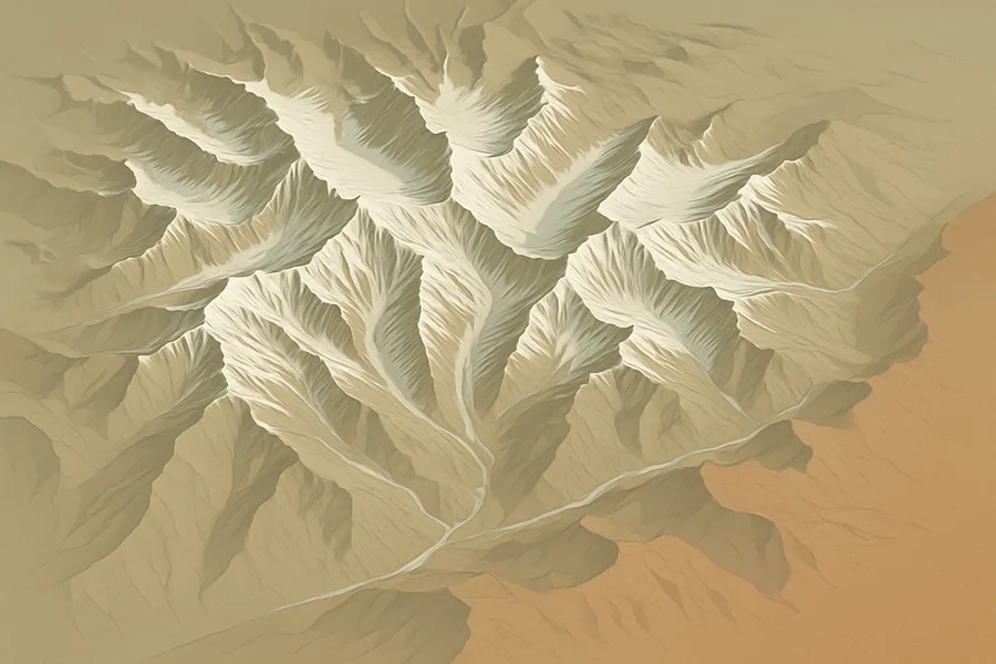
Detailed 3D elevation map of High Mountain Asia, from WorldView and GeoEye satellite cameras (8 m detail)
High Mountain Asia 8-meter DEM Mosaics Derived from Optical Imagery V001
land NASA NSIDC_CPRD Level 4 PNGGeoTIFF
In plain English
What it measures. Detailed elevation maps showing the height of the land surface across the glacier and snow regions of High Mountain Asia, at a fine 8-meter level of detail.
How it's made. Stitched together from very-high-resolution images taken by commercial satellites, then converted into 3-D elevation mosaics.
How & where you'd use it. Useful for studying mountain glaciers, snow, and terrain in this region, including tracking how the landscape and ice change over time.
What's measured
LAND SURFACE › TOPOGRAPHY › TERRAIN ELEVATION › DIGITAL ELEVATION/TERRAIN MODEL (DEM)
Coverage & cadence
- Time span2002-01-28 → 2016-11-24
- Measured byGEOEYE-1 (CAMERAS) · QUICKBIRD-2 (QUICKBIRD/BHRC-60) · WORLDVIEW-1 (CAMERAS) · WORLDVIEW-2 (CAMERAS) · WORLDVIEW-3 (CAMERAS)
- Processing levelLevel 4
- Spatial extent67, 26, 103, 46
- FormatsPNG, GeoTIFF
- StatusCOMPLETE
What you can do with it
- Track deforestation, fire scars and land-cover change
- Monitor crop and vegetation health (NDVI/EVI)
- Map how built-up vs. green an area is over time
Official description
This data set contains 8-meter Digital Elevation Model (DEM) mosaics of high mountain Asia glacier and snow regions generated from very-high-resolution (VHR) commercial satellite imagery.
Get the data
import earthaccess
earthaccess.login(strategy="netrc")          # free Earthdata Login

results = earthaccess.search_data(
    short_name="HMA_DEM8m_MOS",
    version="1",
    bounding_box=(-122.5, 37.2, -121.8, 37.9),  # your area (W,S,E,N)
    temporal=("2024-01-01", "2024-12-31"),       # your dates
)
files = earthaccess.open(results)   # stream straight from NSIDC_CPRD
Browsing CMR needs no login. Downloading or streaming bytes needs a free Earthdata Login + the earthaccess package. Official links
- Search and order NASA Earth Science data using spatial and temporal filters. Reformatting, reprojecting, and subsetting options are available for some data sets. GET DATA
- Quickly download a few files using a web browser, or access data through a command-line utility such as WGET. GET DATA
- Search data by spatial and/or temporal ranges or file name. Choose from various download options, including a Python script. GET DATA
- A Python library to search and access NASA Earth science data with just a few lines of code GET DATA
- Find more data access options and help resources. VIEW RELATED INFORMATION
- High Mountain Asia 8-meter DEM Mosaics Derived from Optical Imagery, Version 1 User Guide VIEW RELATED INFORMATION