How wet the soil is at the surface and root depth, from NASA's SMAP satellite (9 km detail)
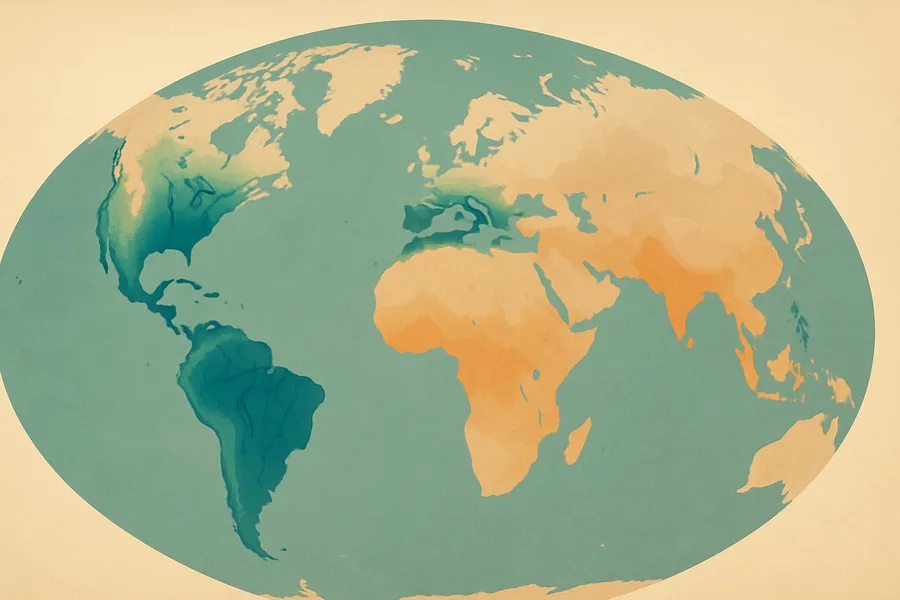
What it measures. How wet the soil is, both right at the surface and deeper down in the root zone where plants draw water, updated every 3 hours across the globe on a 9-kilometer grid.
How it's made. Produced by SMAP's Level-4 system, which merges the satellite's radio-based soil-moisture readings (from L-band brightness temperatures) with a land surface model to fill in the full soil profile.
How & where you'd use it. Useful for drought monitoring, farming and irrigation decisions, flood forecasting, and weather and climate research that depends on how moist the land is.
What's measured
Coverage & cadence
- Time span2015-03-31 → ongoing
- Measured byGEOS-5 (NOT APPLICABLE) · SMAP (SMAP L-BAND RADIOMETER)
- Processing levelLevel 4
- Spatial extent-180, -85.044, 180, 85.044
- FormatsHDF5
- StatusACTIVE
What you can do with it
- Track deforestation, fire scars and land-cover change
- Monitor crop and vegetation health (NDVI/EVI)
- Map how built-up vs. green an area is over time
Official description
SMAP Level-4 (L4) surface and root zone soil moisture (L4_SM) data are provided in three products. The SMAP L4 Global 3-hourly 9 km EASE-Grid Surface and Root Zone Soil Moisture Geophysical Data (SPL4SMGP, DOI: 10.5067/T5RUATAQREF8) product is a series of 3-hourly time average geophysical land surface fields that are output by the L4_SM algorithm. It is likely of primary interest to most users. The SMAP L4 Global 3-hourly 9 km EASE-Grid Surface and Root Zone Soil Moisture Analysis Update (SPL4SMAU, DOI: 10.5067/02LGW4DGJYRX) product provides diagnostics from the land surface analysis updates. It consists of a series of 3-hourly instantaneous (or snapshot) files that contain the assimilated SMAP observations, the corresponding land model predictions and analysis estimates, and additional data assimilation diagnostics. Lastly, the SMAP L4 Global 9 km EASE-Grid Surface and Root Zone Soil Moisture Land Model Constants (SPL4SMLM, DOI: 10.5067/PXQIBL2ALDZD) product provides static (time-invariant) land surface model constants that will be needed by some users for further interpretation of the geophysical land surface fields. This product consists of only one granule (file) per L4_SM data product version (as defined by a distinct Science Version ID). For each product, SMAP L-band brightness temperature data from descending and ascending half-orbit satellite passes (approximately 6:00 a.m. and 6:00 p.m. local solar time, respectively) are assimilated into a land surface model that is gridded using an Earth-fixed, global cylindrical 9 km Equal-Area Scalable Earth Grid, Version 2.0 (EASE-Grid 2.0) projection.
Get the data
import earthaccess
earthaccess.login(strategy="netrc")          # free Earthdata Login

results = earthaccess.search_data(
    short_name="SPL4SMGP",
    version="008",
    bounding_box=(-122.5, 37.2, -121.8, 37.9),  # your area (W,S,E,N)
    temporal=("2024-01-01", "2024-12-31"),       # your dates
)
files = earthaccess.open(results)   # stream straight from NSIDC_CPRD
Browsing CMR needs no login. Downloading or streaming bytes needs a free Earthdata Login + the earthaccess package. Official links
- Search and order NASA Earth Science data using spatial and temporal filters. Reformatting, reprojecting, and subsetting options are available for some data sets. GET DATA
- Quickly download a few files using a web browser, or access data through a command-line utility such as WGET. GET DATA
- Search data by spatial and/or temporal ranges or file name. Choose from various download options, including a Python script. GET DATA
- Extract point and area time series from geospatial data via spatial, temporal, and/or parameter subsetting. GET DATA
- A Python library to search and access NASA Earth science data with just a few lines of code GET DATA
- Find more data access options and help resources. VIEW RELATED INFORMATION
- SMAP L4 Global 3-hourly 9 km EASE-Grid Surface and Root Zone Soil Moisture Geophysical Data, Version 8 User Guide VIEW RELATED INFORMATION
- SPL4SMAU/SMGP/SMLM Product Specification Document Version 8 [2025] VIEW RELATED INFORMATION